Maps
Clear guidance to understand the landscape, plan routes and move with confidence.
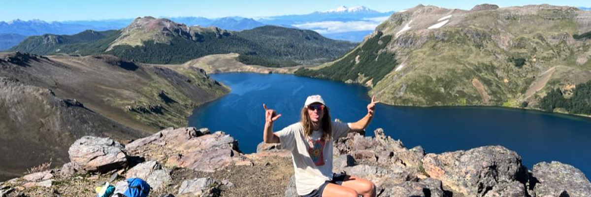 Good orientation reveals the landscape with greater clarity and depth.
A simple way to understand the landscape
Before setting out, it is worth taking a moment to step back, look at the landscape from above and identify routes, access points and key landmarks. This initial reading makes every journey clearer, smoother and more enjoyable.
Access and immediate surroundings
An overview of the main routes, tracing the approach into Puesco, the connections toward Curarrehue and the border crossing and the location of Cafetería VT — the gateway to your adventure.
Relief and expanded landscape
A full view of the national park: the volcanoes Villarrica, Quetrupillán and Lanín, Lake Villarrica, and the overall route of the VT – Villarrica Traverse trek.
Understanding the landscape is the first step to exploring it well.
If you already have a sense of the area, we can help you define routes, access points and timings for a clear, safe and well-prepared visit.
Get in Touch